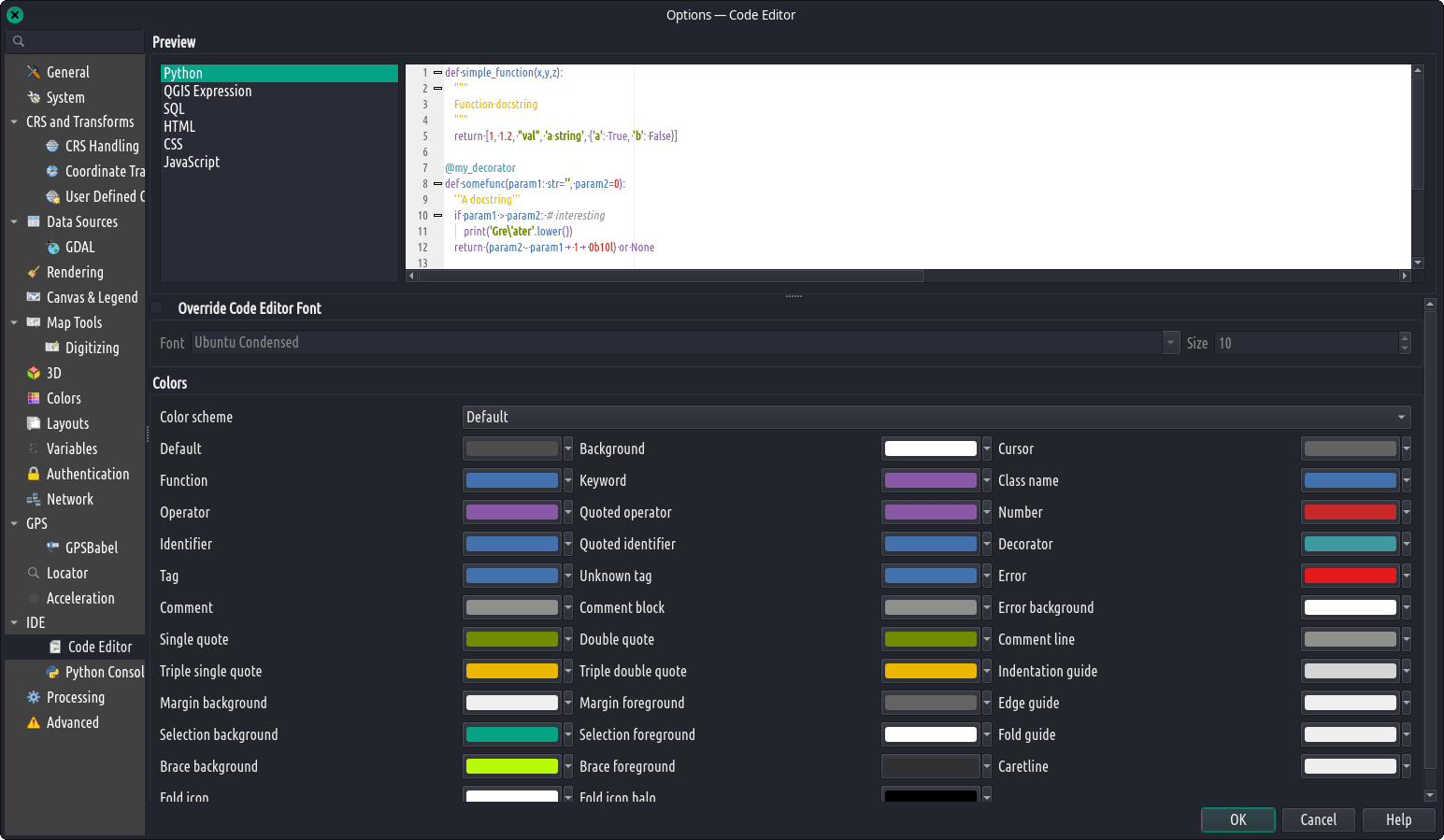
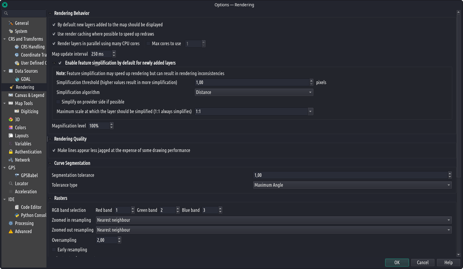
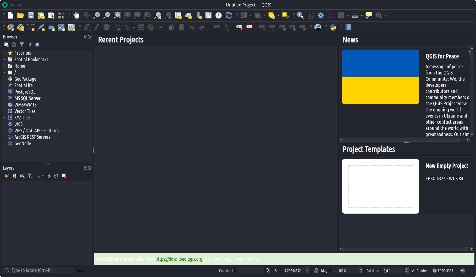
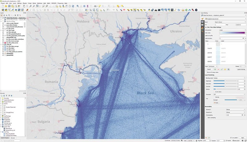
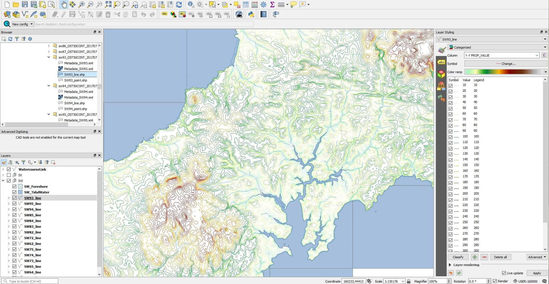
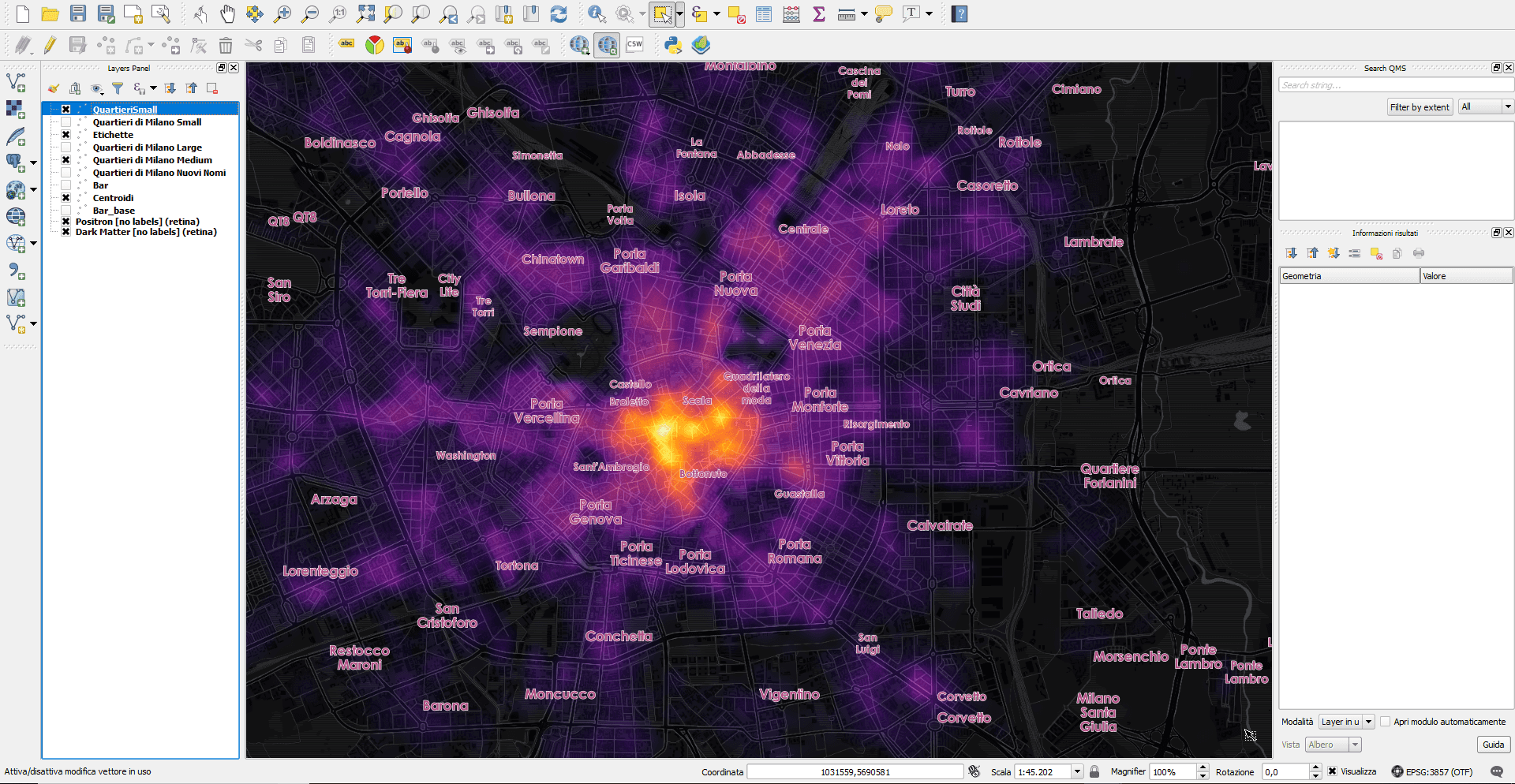
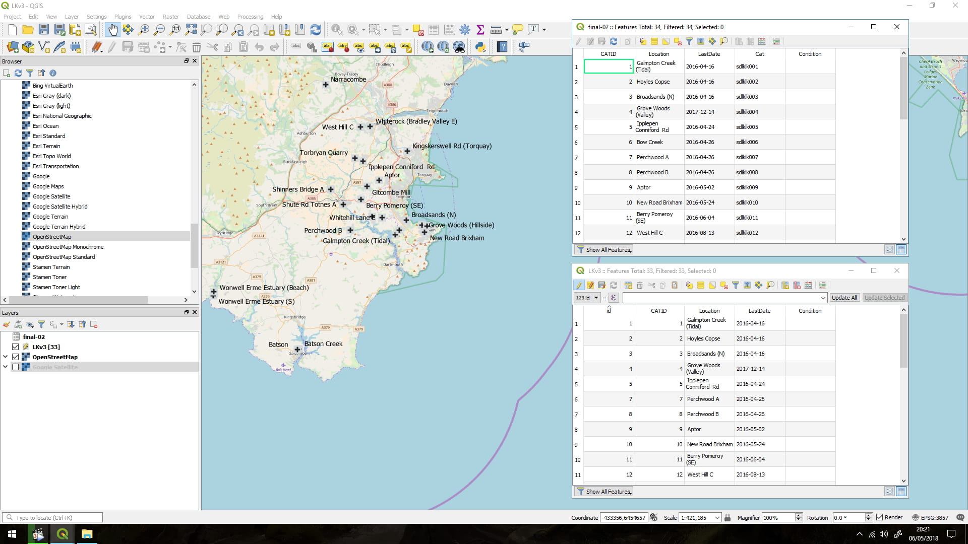
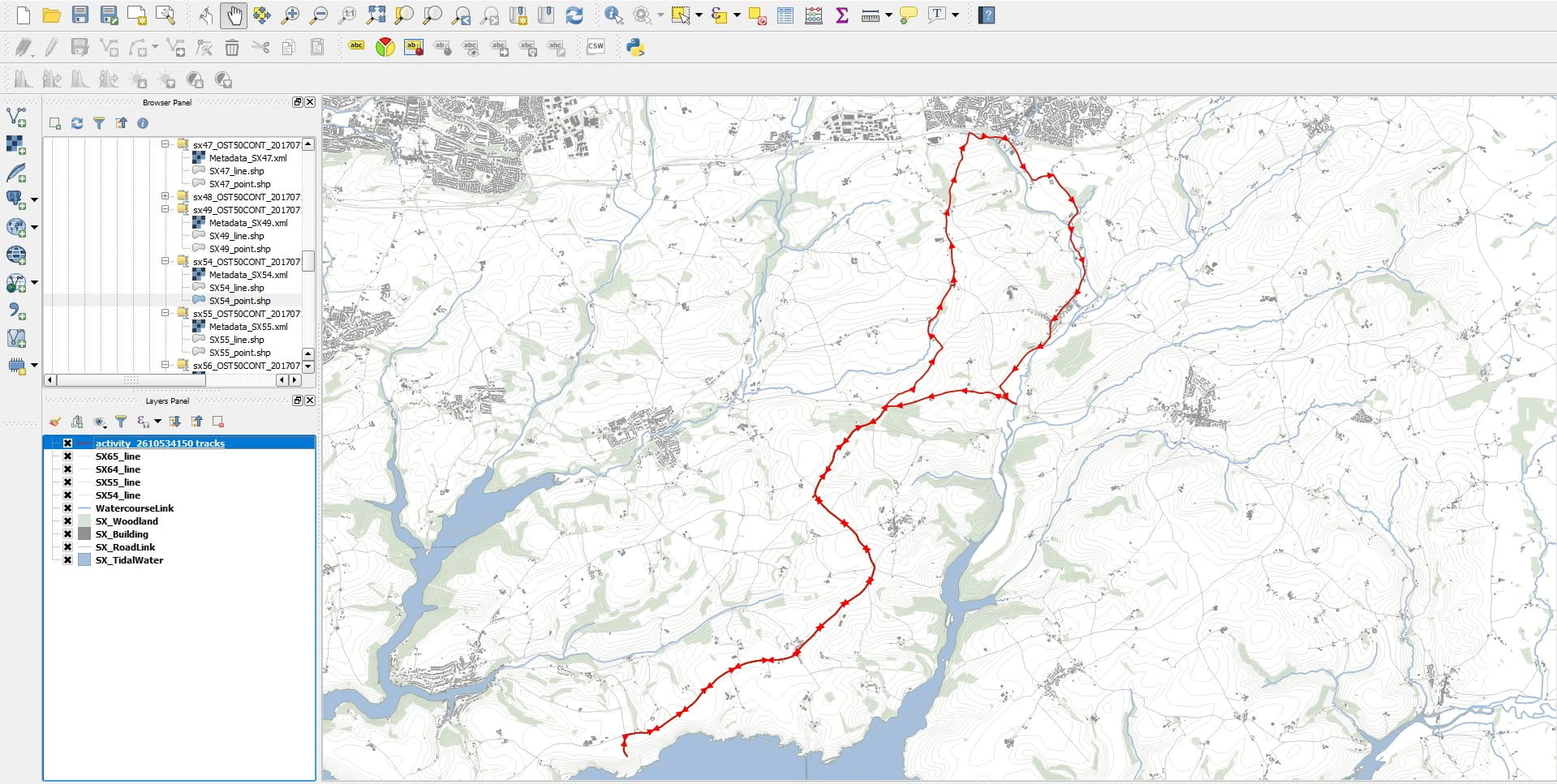
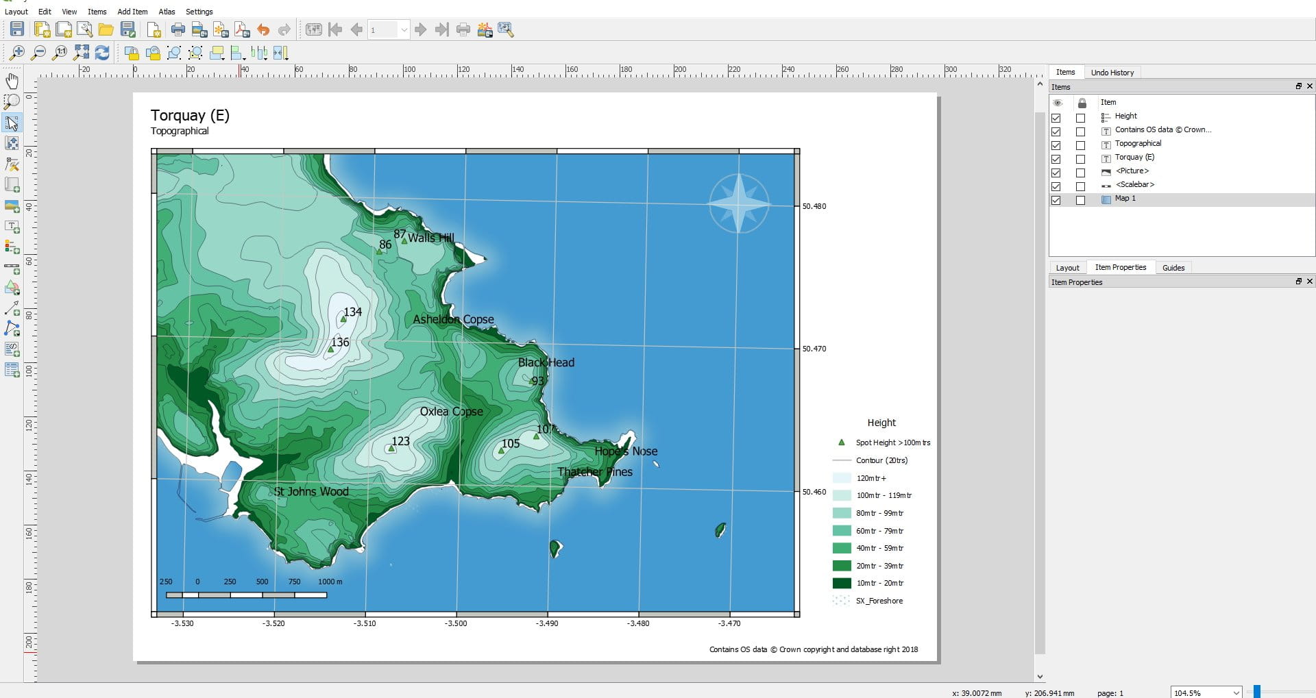
經過 拜倫從 上 2022 年 8 月 26 日2022 年 7 月 22 日 地理信息系統 安裝 描述: QGIS 是一款免費開源的跨平台桌面地理信息系統 (GIS) 應用程序,支持查看、編輯、打印和分析地理空間數據。 QGIS 的功能是地理信息系統 (GIS) 軟件,允許用戶分析和編輯空間信息,此外還可以製作和導出圖形地圖。 QGIS 支持柵格、矢量和網格層。矢量數據存儲為點、線或多邊形要素。支持多種格式的光柵圖像,軟件可以對圖像進行地理配準。QGIS 支持 shapefile、個人地理數據庫、dxf、MapInfo、PostGIS 和其他行業標準格式。還支持 Web 服務,包括 Web 地圖服務和 Web 要素服務,以允許使用來自外部源的數據。QGIS 與其他開源 GIS 軟件包集成,包括 PostGIS、GRASS GIS 和 MapServer。 [4]用 Python 或 C++ 編寫的插件擴展了 QGIS 的功能。插件可以使用 Google Geocoding API 進行地理編碼,執行類似於 ArcGIS 中標準工具的地理處理功能,並與 PostgreSQL/PostGIS、SpatiaLite 和 MySQL 數據庫進行交互。QGIS 也可以與 SAGA GIS 和 Kosmo 一起使用。 相似的應用程序: 沒有相關的應用程序。