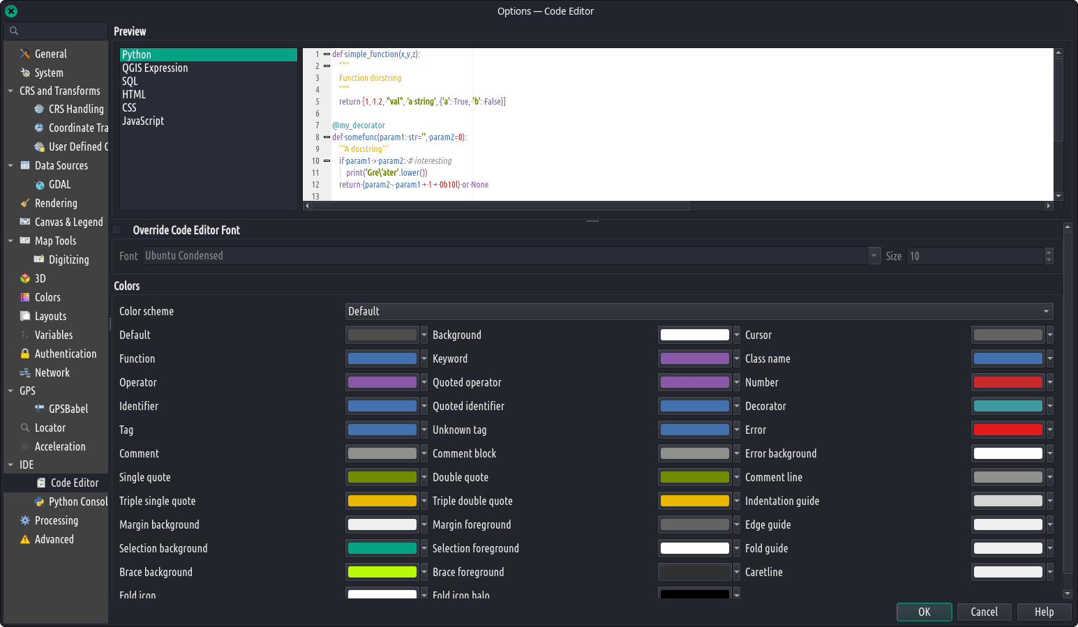
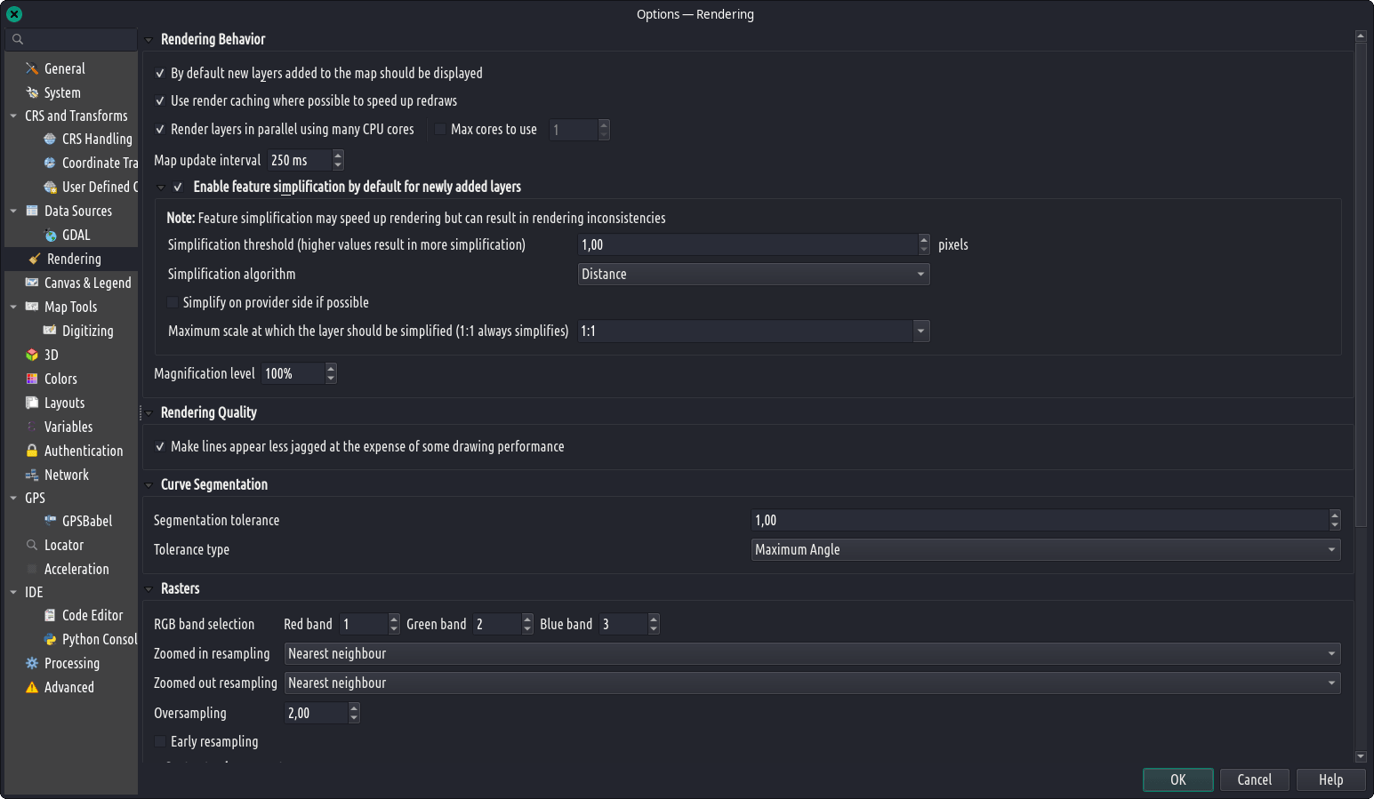
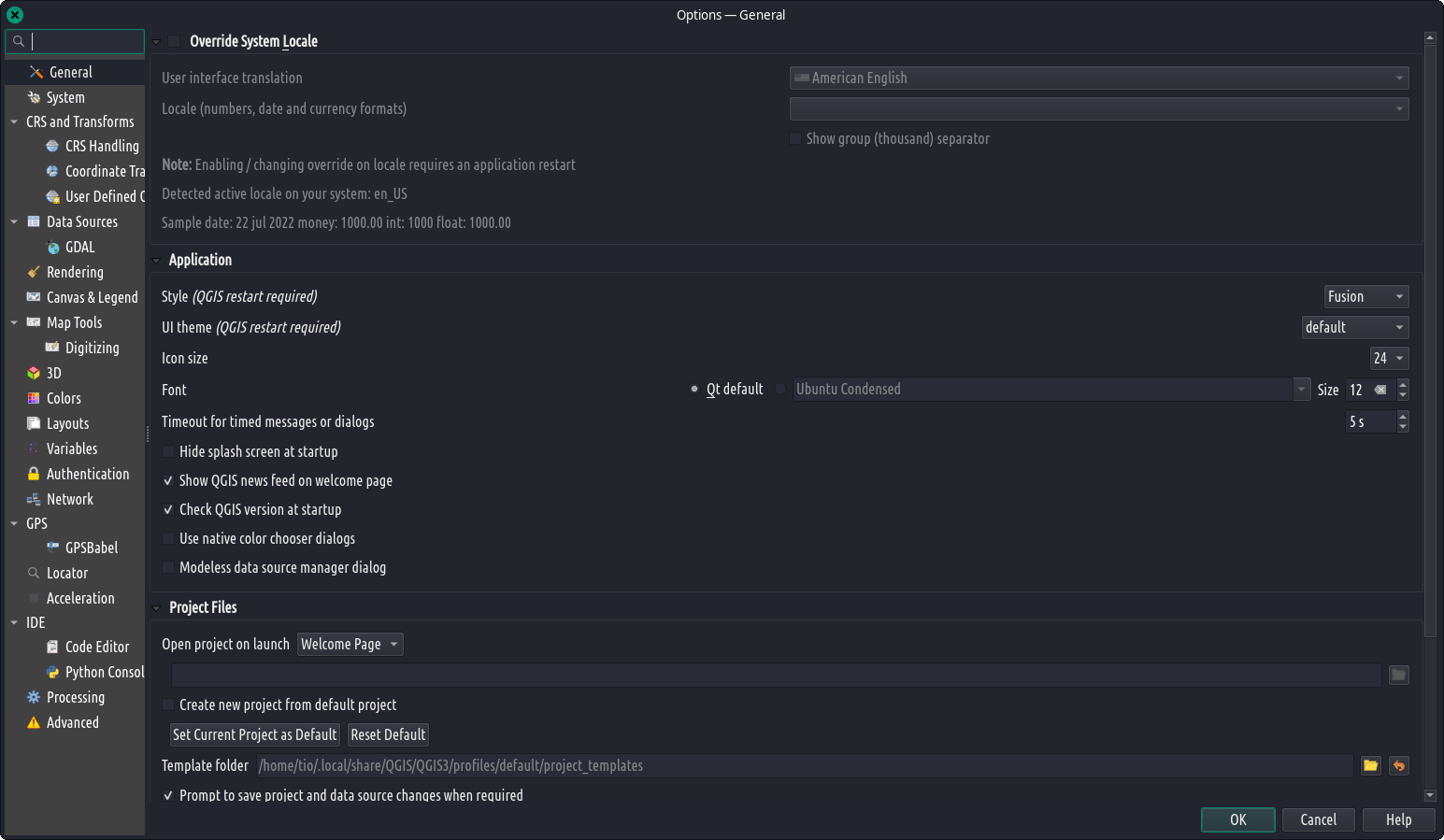
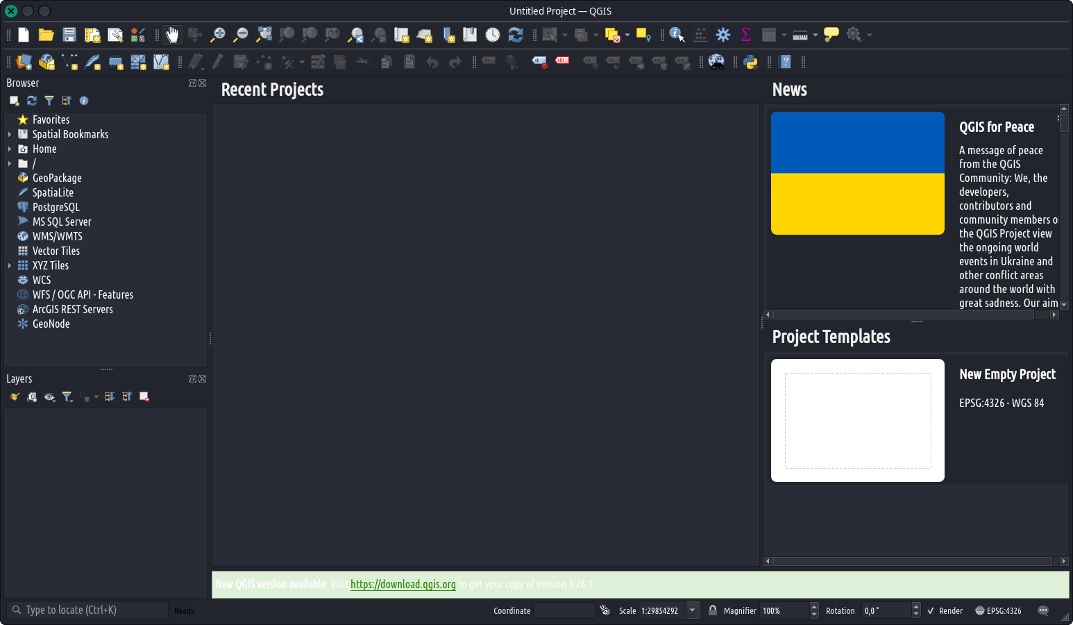
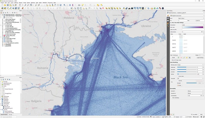
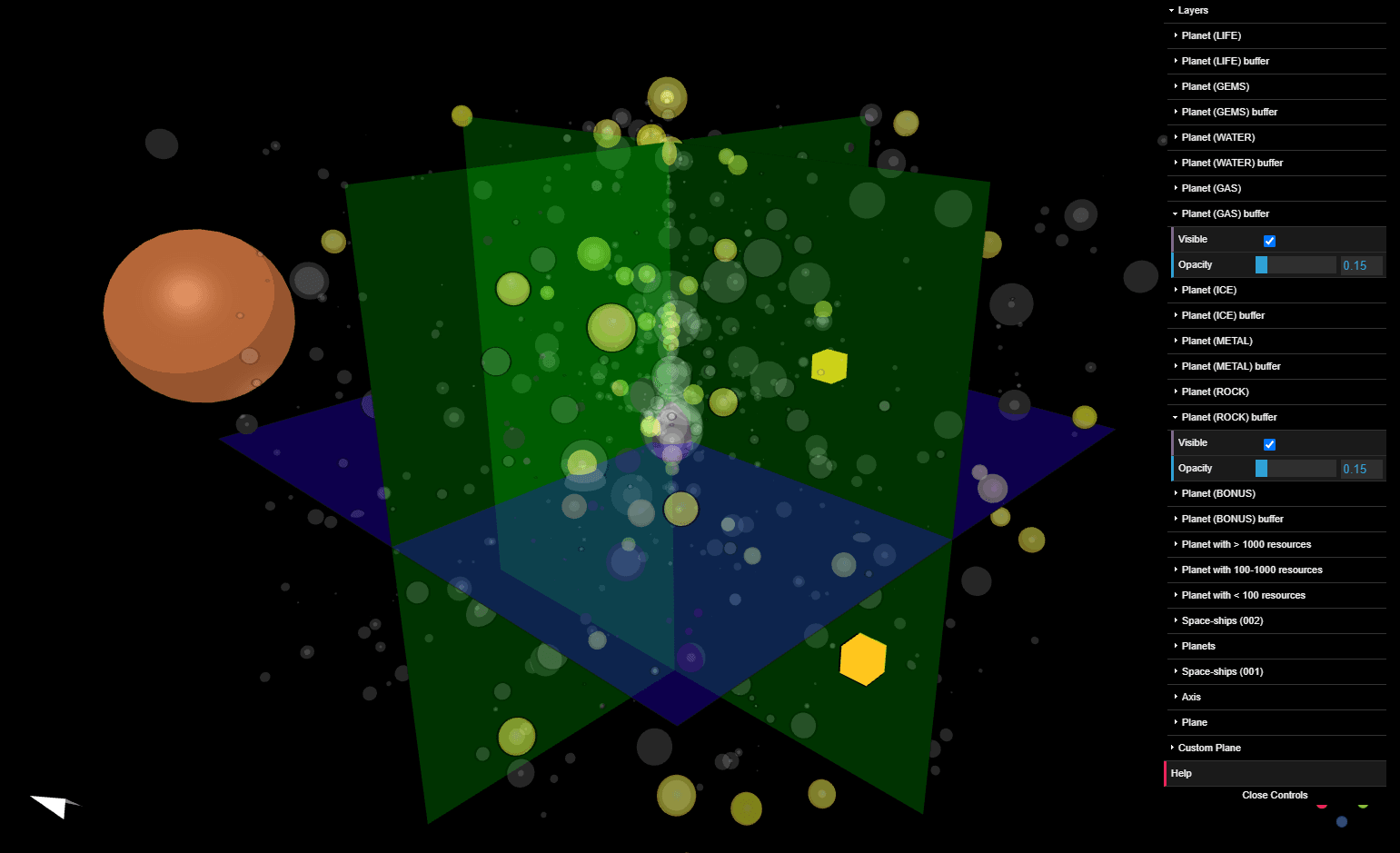
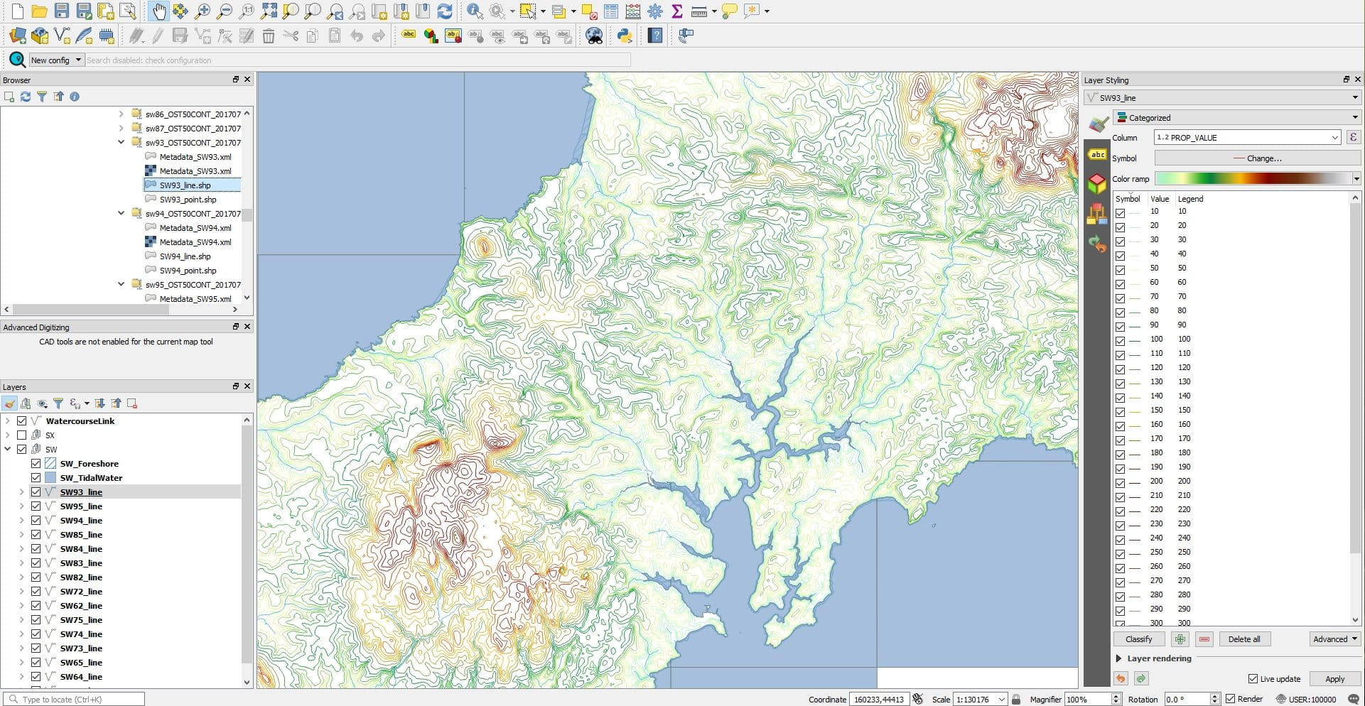
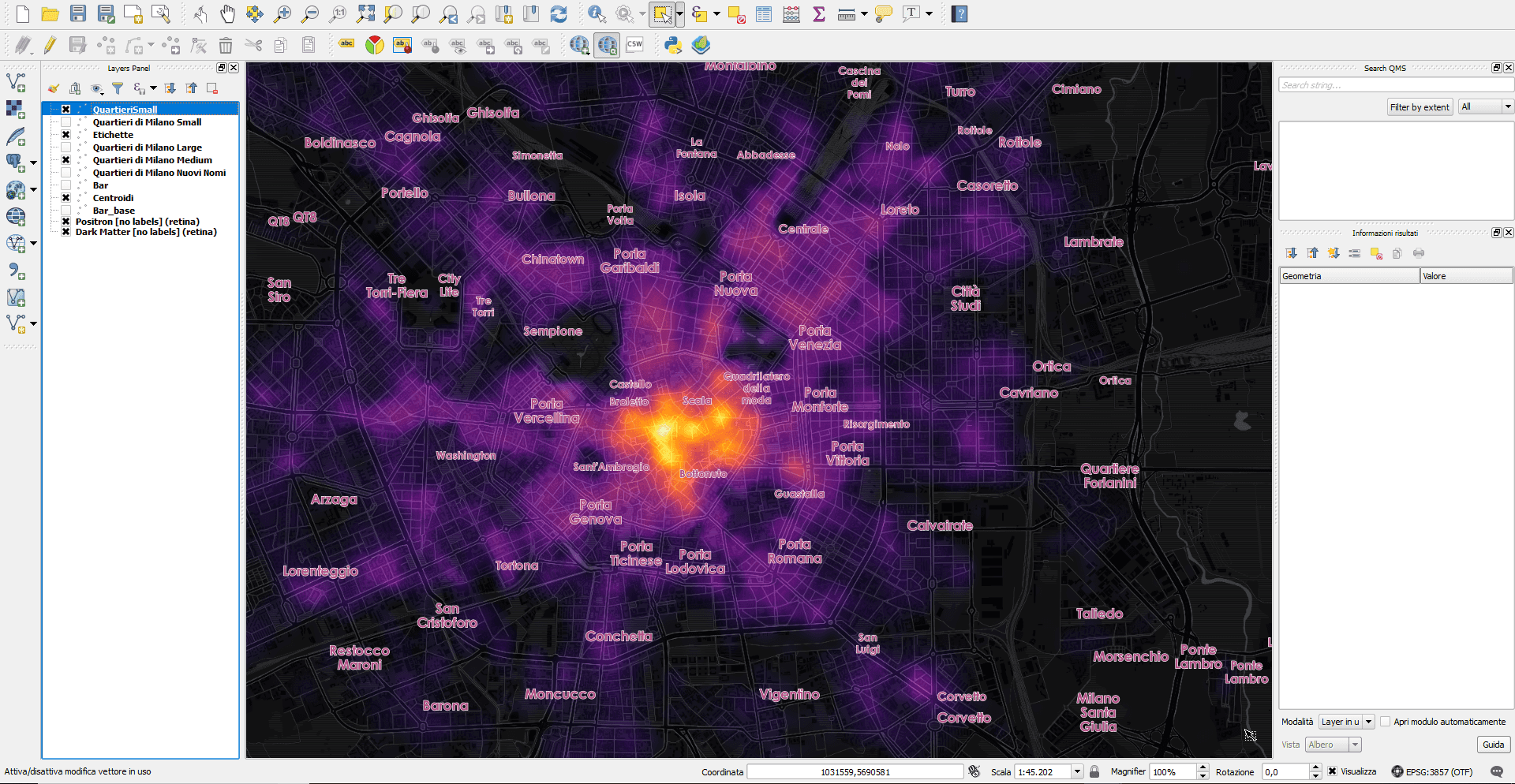
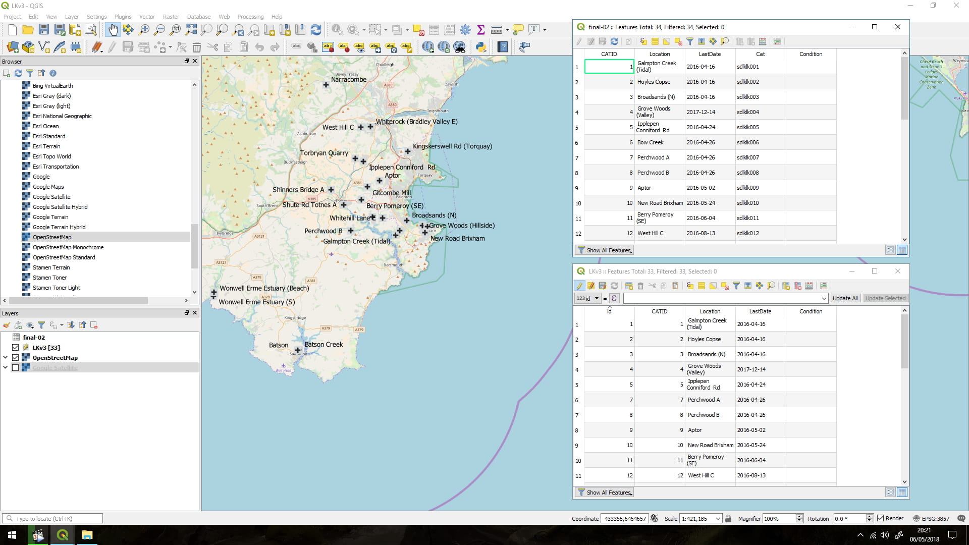
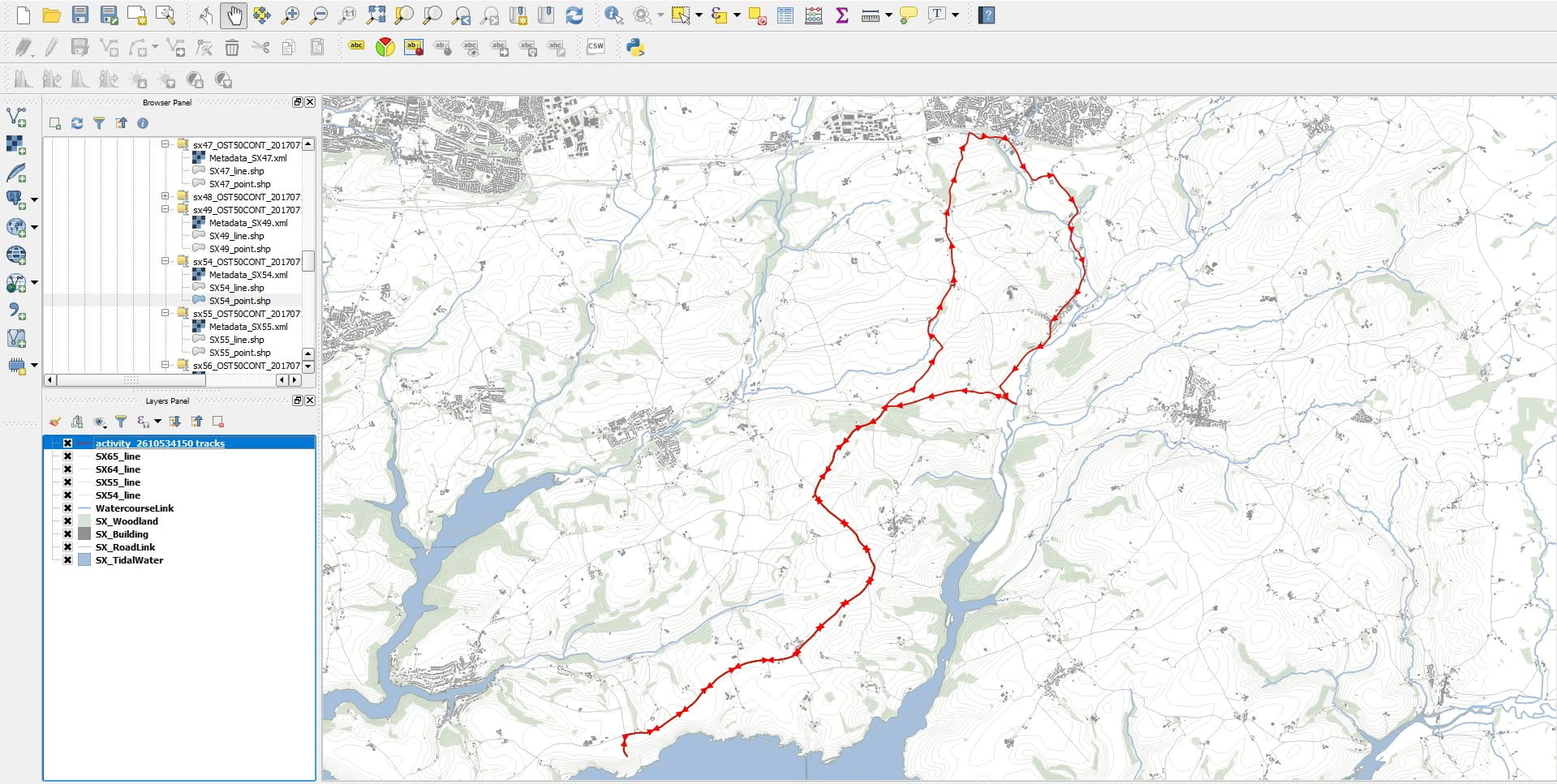
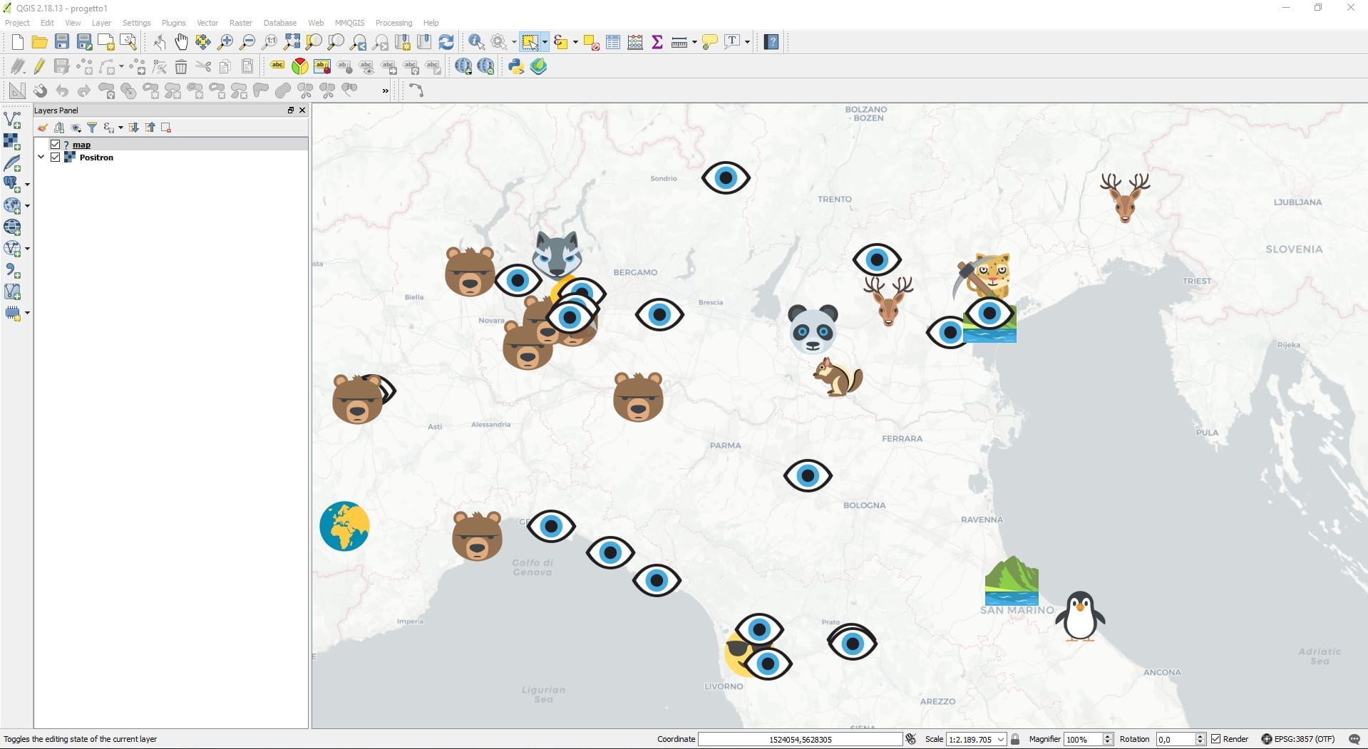
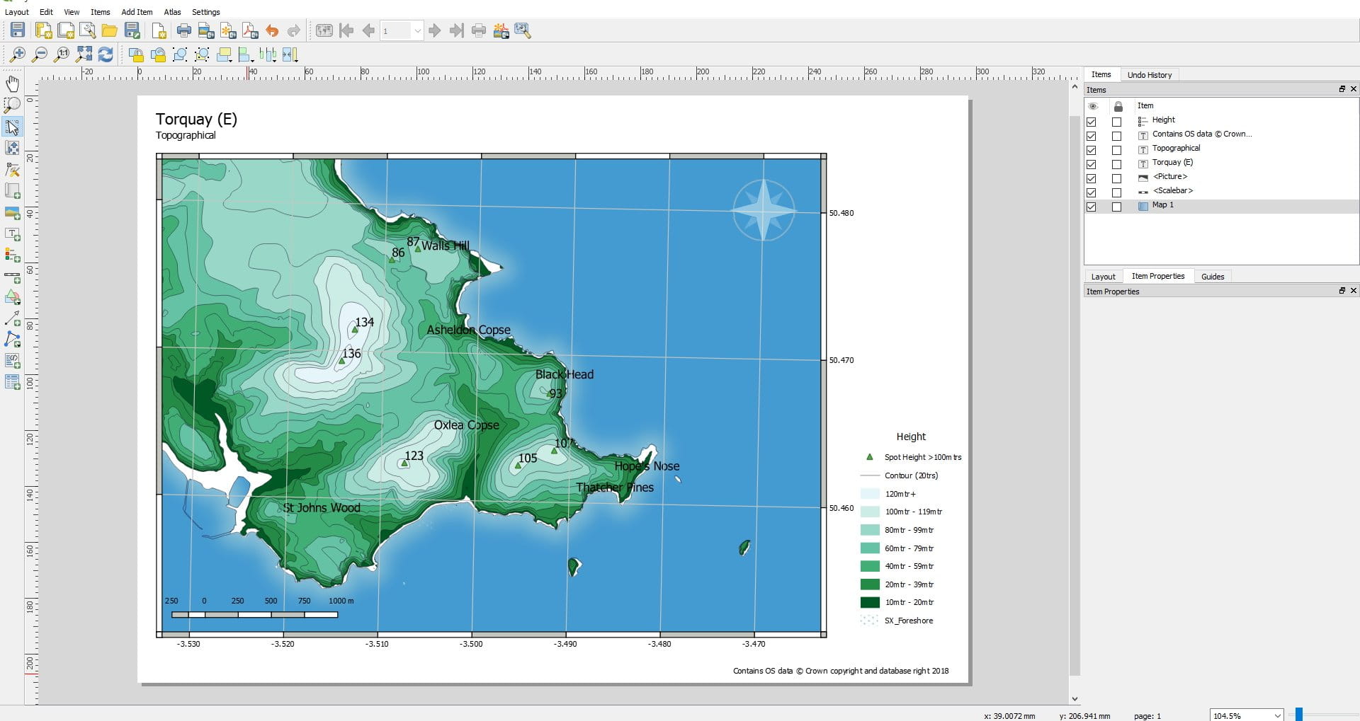
经过 拜伦特罗姆 上 2022 年 8 月 26 日2022 年 7 月 22 日 地理信息系统 安装 描述: QGIS 是一款免费、开源的跨平台桌面地理信息系统 (GIS) 应用程序,支持地理空间数据的查看、编辑、打印和分析。 QGIS 用作地理信息系统(GIS)软件,除了构建和导出图形地图之外,还允许用户分析和编辑空间信息。 QGIS 支持栅格、矢量和网格图层。矢量数据存储为点、线或面要素。支持多种格式的光栅图像,并且该软件可以对图像进行地理配准。QGIS 支持 shapefile、个人地理数据库、dxf、MapInfo、PostGIS 和其他行业标准格式。还支持 Web 服务,包括 Web 地图服务和 Web 要素服务,以允许使用来自外部源的数据。QGIS 与其他开源 GIS 软件包集成,包括 PostGIS、GRASS GIS 和 MapServer。[4]用 Python 或 C++ 编写的插件扩展了 QGIS 的功能。插件可以使用 Google Geocoding API 进行地理编码,执行类似于 ArcGIS 中标准工具的地理处理功能,并与 PostgreSQL/PostGIS、SpatiaLite 和 MySQL 数据库连接。QGIS 还可以与 SAGA GIS 和 Kosmo 一起使用。 相似的应用程序: 没有相关的应用程序。